
How AI And Sand Dunes On Mars Can Reveal The Planet’s History, One Grain At A Time
uaetodaynews.com — How AI and sand dunes on Mars can reveal the planet’s history, one grain at a time
An innovative technique for measuring the force acting on individual grains of sand could help scientists uncover how winds have shaped the surface of Mars.
The method, developed by researchers at the State University of Campinas in Brazil, uses images of dune surfaces to estimate the force acting on each grain of sand. By combining laboratory experiments, computer simulations and artificial intelligence (AI), the team generated detailed force maps that reveal the physics of dune formation.
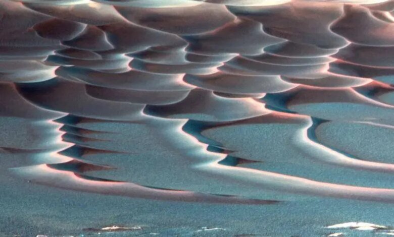
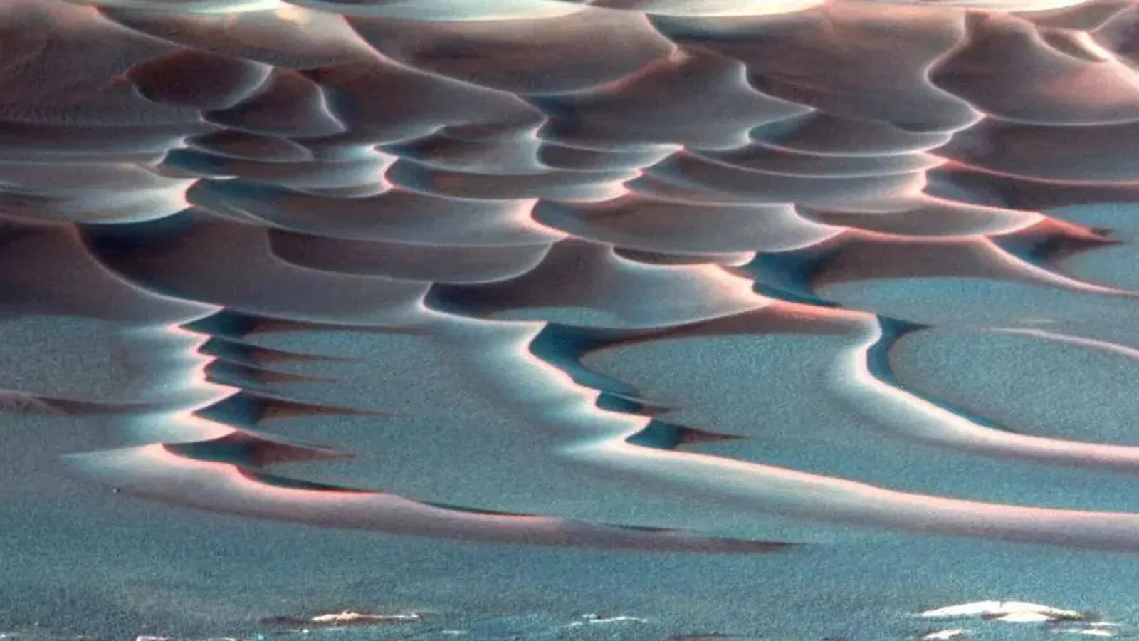
Dunes, particularly crescent-shaped “barchan” dunes, form wherever wind or water flows over loose sand — from deserts and seabeds on Earth to the dusty plains of Mars. Scientists can track their movement to infer prevailing winds and environmental conditions, but measuring the forces driving each grain’s motion has, until now, been impossible, according to a statement from the university.
“To measure the force acting on each grain, you’d need to place a tiny accelerometer on each one, which simply doesn’t exist,” the researchers said in the statement.
To overcome this challenge, the team recreated miniature underwater dunes in a laboratory setting and ran detailed 3D simulations to calculate the exact forces acting on each grain. They then trained a convolutional neural network — a form of AI used for image recognition — to link dune images with corresponding “force maps” from the simulations. Once trained, the AI could infer the distribution of forces directly from visual data. When tested on new images, it accurately predicted the forces at play, even for dune shapes it hadn’t seen before.
“Any granular system that can be seen in an image — whether ice, salt or synthetic particles — can be analyzed as long as there’s a simulation capable of accurately reproducing the behavior of the material,” Renato Miotto, a postdoctoral researcher and lead author of the study, said in the statement.
The ability to extract such detailed physical information from images alone could have wide-ranging applications. On Earthit may help engineers better predict coastal erosion, river sediment transport or the behavior of granular materials in industrial systems. This can also be applied to other planets imaged from orbit, like Marswhose dunes evolve under the same basic physics as those on Earth.
“In the case of Mars, it’s possible to infer, from widely available images, the intensity of winds in the past and the evolution of dunes in the future,” Erick Franklin, professor and co-author of the study, said in the statement.
This method therefore offers a new window into studying the Red Planet’s atmospheric history and surface evolution. Their findings were published Aug. 1 in the journal Geophysical Research Letters.
Disclaimer: This news article has been republished exactly as it appeared on its original source, without any modification.
We do not take any responsibility for its content, which remains solely the responsibility of the original publisher.
Disclaimer: This news article has been republished exactly as it appeared on its original source, without any modification.
We do not take any responsibility for its content, which remains solely the responsibility of the original publisher.
Author: uaetodaynews
Published on: 2025-10-28 17:10:00
Source: uaetodaynews.com